Teaching geography doesn’t have to mean memorizing endless lists of capitals and countries. When you introduce world geography through interactive games and activities, children develop genuine curiosity about the world around them.
This comprehensive guide explores practical, tested approaches to make learning geography an adventure rather than a chore. Whether you’re working with younger students just discovering the seven continents or older students ready to tackle complex geographical features, you’ll find activities that transform map skills into exciting exploration.
World Geography Games Online: A Fun Geography Journey
Types of Online Geography Games
Online geography games vary in format, yet all effective options share a common goal: reinforcing geographic knowledge through active engagement. Selecting the right game type depends on whether the learning objective focuses on recognition, recall, or applied map skills.
Common formats include:
- World map games that require locating countries, continents, or regions on blank or labeled maps.
- Country and capital quizzes designed to strengthen factual recall through repetition and timed challenges.
- Flag and symbol identification games that connect visual memory with national identity.
- Map reading and coordinate games that introduce latitude, longitude, and spatial orientation.
Using several formats in rotation reduces cognitive fatigue and improves knowledge transfer. Students exposed to multiple geography learning games show stronger retention than those practicing through a single digital activity type.
GeoGuessr Virtual World Exploration
GeoGuessr drops players into random locations using Google Street View, challenging them to identify where they are based on environmental clues. This game naturally develops observational skills as children notice architectural styles, vegetation patterns, and cultural markers.
How it works: Players examine their surroundings—road signs, language on storefronts, landscape features—to make educated guesses about their location. The closer their guess to the actual spot, the higher their score.
Educational value: Beyond simple location identification, this geography game teaches critical thinking. Students learn to use context clues, building connections between climate zones, cultural regions, and physical geography. Teachers report that students become remarkably adept at recognizing countries and continents after just a few sessions.
Seterra Interactive Map Quizzes
Seterra offers customizable map-based quizzes covering everything from world capitals to specific geographical features. The platform adapts to different skill levels, making it suitable for both younger children and advanced learners.
You can focus on particular regions—perhaps concentrating on one continent at a time—or challenge students with comprehensive world map exercises. The timed mode adds friendly competition to classroom settings, while practice mode lets students learn without pressure.
Key features:
- Over 300 different geography activities
- Multiple quiz formats including pins, multiple-choice questions, and click-to-identify
- Available online with no downloads required
- Tracks progress to show improvement over time
Online World Flags Identification Game
Flag recognition games do more than help students memorize symbols. They open conversations about national identity, historical influences, and cultural pride. National Geographic Kids offers an engaging flags quiz that combines visual learning with interesting facts about places.
Start with easily recognizable world flags—those with distinctive colors or symbols—then gradually introduce more challenging ones. Many students find that learning flags provides memorable anchors for remembering countries and continents, creating a solid foundation for deeper geographic knowledge.
Classroom Geography Activities: Interactive and Hands-On Learning
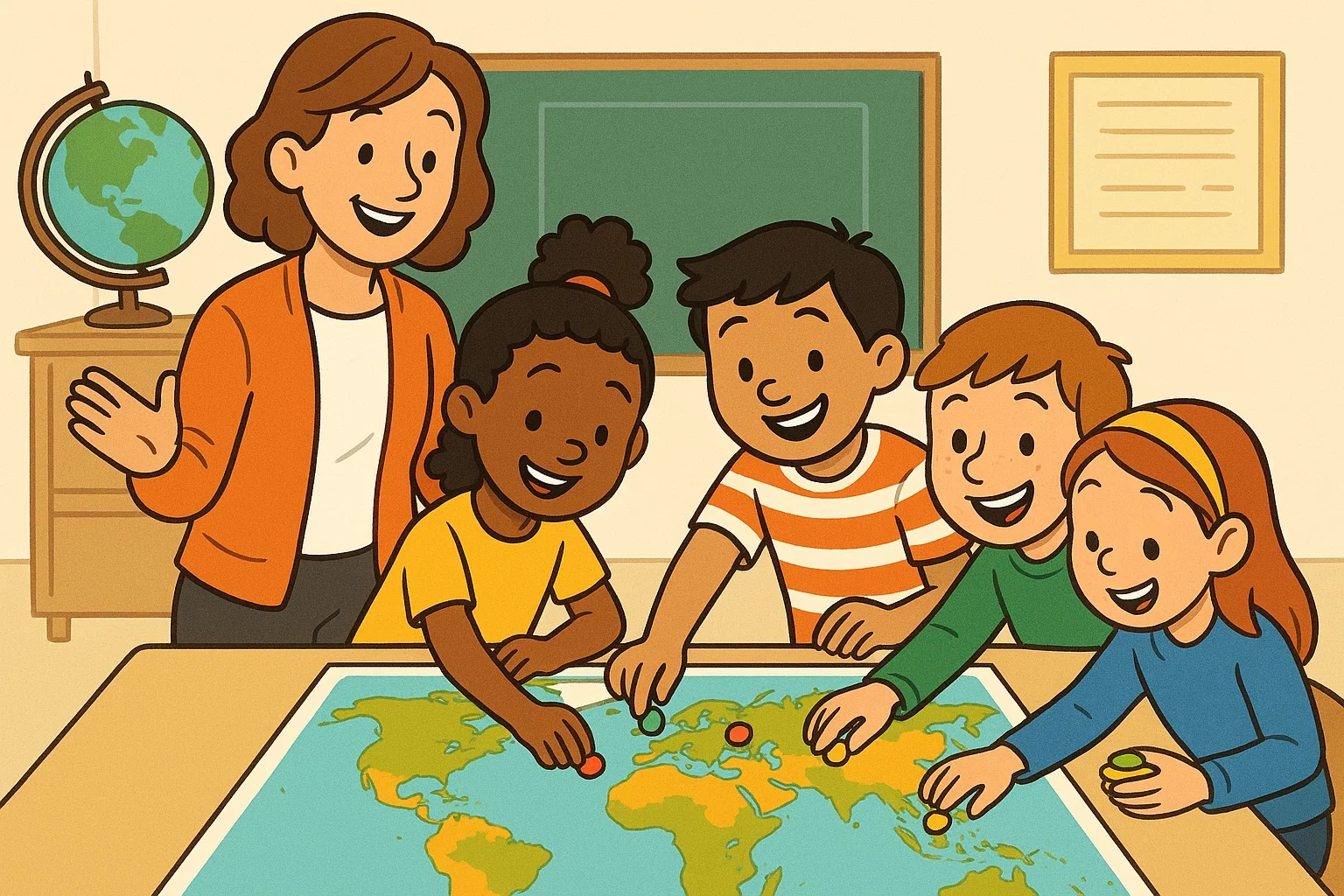
Hands-on learning transforms abstract concepts into tangible experiences. When students physically interact with geography materials, they engage multiple senses, which neuroscience research from math & movement indicates can improve memory retention by up to 75%.
20 Questions Guessing Game for Countries and Landmarks
This classic game requires nothing more than curiosity and creativity. One student thinks of a country, capital, or famous landmark, while others ask yes-or-no questions to narrow down possibilities.
Sample questions might include: “Is this country in the Southern Hemisphere?” “Does this landmark involve water?” “Is the capital city larger than one million people?”
The game subtly teaches students to categorize information logically. They learn to eliminate possibilities systematically, developing problem-solving skills alongside their knowledge of geography. For younger students, you might limit choices to specific continents or provide visual hints using a large map displayed prominently in the classroom.
Hands-On Map Puzzles for Country and Continent Recognition
Physical puzzles turn geography into a tactile experience. Chunky wooden puzzles work beautifully for younger children, while older students might tackle 1,000-piece world map challenges.
Consider these variations:
- Timed puzzle competitions between teams
- Assembling maps with country names hidden to test recognition of shapes alone
- Creating custom puzzles by mounting maps on cardboard and cutting them into irregular pieces
One teacher from Colorado shared: “My third-graders struggled with continent locations until we introduced floor puzzles. Seeing them physically place Africa or South America on a large map made the spatial relationships click in a way worksheets never did.”
Treasure Hunt Activities: Finding Locations World Map
Transform your classroom into an adventure zone with treasure hunts that require map reading. Hide clues around the room, each containing coordinates or geographical descriptions that lead to the next location.
Sample treasure hunt progression:
- “Start at the world’s longest river” (leads to Nile River on wall map)
- Find coordinates 48.8566° N, 2.3522° E (Paris, France)
- “Travel to the continent with no permanent residents” (Antarctica)
- Discover a landmark that took 20 years to build and can be seen from space (Great Wall of China)
This activity naturally reinforces map skills while making geography lesson games memorable. Students practice reading legends, understanding scale, and interpreting various map types.
Scavenger Hunts for Geographical Features
Take treasure hunts a step further by focusing specifically on physical geography. Create lists of geographical features—mountain ranges, rivers, ocean names, deserts—that students must locate using atlases or digital resources.
Award points based on difficulty: finding the Pacific Ocean might earn one point, while correctly identifying the Hindu Kush mountain range could earn five. This approach encourages students to explore beyond familiar territories, discovering new countries and regions they might otherwise overlook.
Exploring the Continents: Deep Dive World Geography
Understanding continents provides the framework upon which all other geographic knowledge hangs. When students grasp how the seven continents relate to each other, they can more easily organize information about individual countries, capitals, and regions.
Continent Hop Game and Flashcards
Physical movement reinforces learning, particularly for kinesthetic learners. Create a simple floor map using tape or printed continent shapes. Call out facts, and students jump to the corresponding continent.
Examples:
- “Home to the Amazon rainforest!” (South America)
- “Where you’ll find the Great Barrier Reef!” (Australia/Oceania)
- “The coldest and driest continent!” (Antarctica)
Pair this with flashcards for quieter study time. Include key information: major countries, climate zones, population facts, and notable landmarks. This combination of active and reflective learning accommodates different learning styles.
| Continent | Area (million km²) | Number of Countries | Interesting Feature |
| Asia | 44.58 | 48 | Most populous continent |
| Africa | 30.37 | 54 | Second-largest continent |
| North America | 24.71 | 23 | Contains three major countries |
| South America | 17.84 | 12 | Home to Amazon rainforest |
| Antarctica | 14.20 | 0 permanent | Covered 98% by ice |
| Europe | 10.18 | 44-50 | Most densely populated |
| Australia/Oceania | 8.60 | 14 | Smallest populated continent |
Capital City Match and Quizzes
Learning world capitals builds upon continent knowledge. Start with a straightforward matching activity: provide a list of countries and a separate list of capitals. Students draw lines connecting pairs or physically match printed cards.
Progress to more challenging formats:
- Speed rounds where teams compete to match the most pairs in 60 seconds
- Blank map quizzes where students label capitals directly onto countries
- Multiple-choice questions that include common misconceptions (Is the capital of Australia Sydney or Canberra?)
The U.S. Department of Education’s 2023 Geography Assessment found that students who practiced capitals through varied quiz formats scored 28% higher than those using a single study method.
World Flags and Symbols Activities
Every flag tells a story. The maple leaf on Canada’s flag, the stars on the U.S. flag, the Southern Cross on Australia’s—each symbol carries meaning. Turn flag study into an engaging geography activity by having students research the symbolism behind chosen flags.
Create a “flag of the day” routine. Display a different flag each morning, discuss its colors and symbols, then locate that country on a world map. By year’s end, students will have explored 180+ countries, gaining exposure to regions they might never encounter otherwise.
Fun flag activities:
- Design your own flag for an imaginary country, explaining your symbol choices
- Sort flags by color schemes or patterns
- Create a memory game using flag pairs
- Host a flag-drawing competition from memory
Exploring Landmarks: Building Models and Puzzles
Famous landmarks serve as memorable anchors for geographic learning. The Eiffel Tower immediately conjures France, while the Taj Mahal connects to India. Deepen this connection through hands-on model building.
Students might construct miniature versions using:
- Cardboard and craft supplies
- LEGO or building blocks
- Clay or modeling dough
- Recycled materials
As they build, they research the landmark’s history, location, and cultural significance. One middle school teacher noted: “My students who built the Sydney Opera House could tell you not only that it’s in Australia but also its precise coordinates, the year it opened, and why its unique design matters. That’s the power of hands-on learning.”
Map and Puzzle Geography Activities for All Kids to Learn
Map literacy remains an essential life skill despite GPS technology. Understanding how to read, interpret, and create maps builds spatial reasoning that applies far beyond geography class.
World Map Puzzle Game Variations
Standard jigsaw puzzles are just the beginning. Consider these innovative variations:
Blind puzzle challenge: Students assemble a world map puzzle without looking at the reference image, relying on shape recognition and geographic knowledge of country positions.
Speed mapping: Divide classes into teams. Each team gets identical puzzles. First team to complete their map correctly wins. This friendly competition makes practice feel like play.
Progressive difficulty: Start with continent-only puzzles for young students, advance to country-level puzzles, then challenge older students with puzzles showing detailed geographical features like mountain ranges and rivers.
Digital alternatives: Websites like Worldle offer daily challenges where players guess countries based on their shapes alone—a fun way to sharpen recognition skills.
Latitude Longitude Coordinate Practice
Coordinates transform abstract locations into precise points. Teaching latitude and longitude might seem dry, but frame it as a global address system and students grasp its practical value.
Begin with whole-number coordinates of major cities:
- Tokyo: 35°N, 139°E
- New York: 40°N, 74°W
- Sydney: 33°S, 151°E
Progress to treasure hunts using specific coordinates. Provide coordinates; students use atlases or online resources to identify locations. Reverse the activity: give locations, have students determine coordinates.
Real-world application: Show how coordinate systems help emergency responders, ship navigators, and even smartphone apps. When students understand that coordinates have practical uses beyond the classroom, engagement naturally increases.
Memory Games for World Flags and Capitals
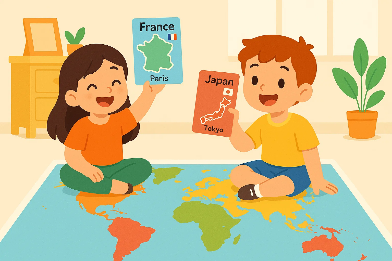
Classic memory card games adapt perfectly to geography education. Create card pairs matching countries with capitals, flags with countries, or landmarks with locations.
The spatial memory required to remember card positions reinforces the spatial skills needed for map reading.
Variations to maintain interest:
- Increase difficulty by adding more pairs
- Create themed sets (European capitals, Asian flags, African countries)
- Time players to encourage quick recall
- Allow students to create their own sets for peer challenges
Draw Different Types of Maps Hands-On Project
Creating maps transforms students from passive consumers to active producers of geographic information. This instructive activity demonstrates how cartographers make choices about what to include, emphasize, or simplify.
Assign different map types:
- Political maps showing country borders and capital cities
- Physical maps highlighting geographical features like mountains and rivers
- Thematic maps focusing on specific data (population density, climate zones, natural resources)
- Topographic maps using contour lines to show elevation
One geography teacher explained: “When my students had to decide which features to include in their own maps, they finally understood why some maps show certain details while omitting others. It’s not about right or wrong—it’s about purpose.”
Provide options for creativity: fantasy maps of imaginary continents, detailed maps of local neighborhoods, or historical maps showing how borders have changed over time.
Hands-On Learning Geography Through Creative Activities
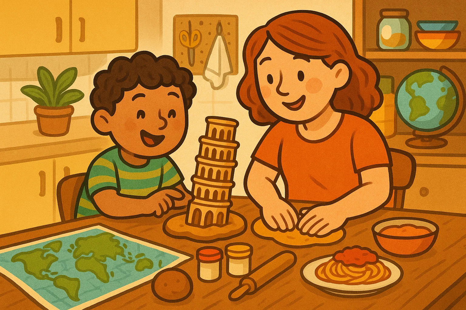
The most memorable geography lessons often happen when students connect abstract concepts to tangible experiences. These creative activities bridge cultural geography with everyday life, making distant places feel relevant and real.
Simulating a Farmer’s Market Activity
Transform your classroom into an international farmer’s market where students “sell” foods from different countries. Each student or small group researches a specific country, identifying its major agricultural products and traditional foods.
Setup requirements:
- Signs indicating country of origin
- Visual displays (printed photos or student drawings) of products
- Basic facts about places printed on cards
- Optional: actual food samples if dietary restrictions and budgets allow
Students practice presenting information: “Welcome to our Ethiopia booth! We’re selling coffee beans—did you know coffee originated here? We also have teff, the grain used to make injera bread.”
This engaging and informative activity teaches economic geography, agricultural zones, and cultural traditions simultaneously. According to feedback from multiple elementary schools implementing this activity, students remember country-specific facts significantly better than through traditional textbook study.
Model Famous Structures Landmark Projects
Building physical models creates lasting connections between landmarks and their locations. Assign each student or group a famous landmark to research and recreate:
- Eiffel Tower (France)
- Pyramids of Giza (Egypt)
- Colosseum (Italy)
- Christ the Redeemer (Brazil)
- Angkor Wat (Cambodia)
- Big Ben (United Kingdom)
Students document:
- Exact location (city, country, continent)
- Geographic coordinates
- Historical background
- Architectural significance
- Interesting facts about the surrounding region
Display completed models on a large map, connecting each to its correct location with string or ribbon. This visual representation helps younger children grasp distances and continental relationships.
Make a Meal Specific Country Fun Geography
Food provides perhaps the most accessible entry point to cultural geography. Organize a “taste the world” event where students prepare (or bring samples of) dishes representing different regions.
Learning opportunities:
- Discuss which ingredients grow in specific climate zones
- Explore how geographical features influence cuisine (coastal regions emphasize seafood, mountainous areas feature hearty stews)
- Trace trade routes that introduced ingredients to new regions
- Compare cooking methods across cultures
One parent volunteer shared: “My daughter couldn’t locate Japan on a map before our class’s geography meal project. After researching sushi, learning about Japan’s island geography, and sharing California rolls with classmates, she became genuinely interested in Asian countries. Now she’s teaching her younger brother about different countries.”
Accommodate dietary restrictions by focusing on recipe research and presentation rather than requiring everyone to bring actual food. Students can create visual displays showing ingredients, preparation methods, and the dish’s cultural significance.
Scavenger Hunts for Local Geographical Features
Geography isn’t just about distant places—it’s everywhere around us. Organize local scavenger hunts that help students apply geographic concepts to their immediate environment.
Sample scavenger hunt items:
- Find the highest elevation point in your neighborhood
- Locate and photograph three different landforms (hills, valleys, water bodies)
- Identify north, south, east, and west from your school
- Document five places where erosion is visible
- Find evidence of human-made changes to natural geography
This activity reinforces that geography is not merely about memorizing names of countries and continents. It’s a lens for understanding the world at every scale—from your backyard to the entire planet.
Geography Games Value and Educational Activities
Understanding why geography matters helps students engage more deeply with learning. When children see how geographic knowledge applies to their lives, motivation shifts from external grades to internal curiosity.
Why Geography Relevant Nowadays
In our interconnected world, geographic literacy influences everything from understanding news events to making informed decisions about environmental issues. The National Geographic Society reports that students with strong geography skills show higher levels of global awareness and cultural empathy.
Practical applications of geographic knowledge:
- News comprehension: Understanding where events occur provides context. Knowing that Ukraine borders Russia, for instance, helps students grasp geopolitical tensions.
- Environmental awareness: Recognizing how deforestation in the Amazon affects global climate requires understanding where the Amazon is and how earth’s systems interconnect.
- Cultural appreciation: Learning about different regions reduces stereotyping and increases respect for diversity. When students explore various countries through geography, they discover that no single way of life is “normal”—just different adaptations to different environments.
- Career preparation: Fields from international business to climate science to urban planning all require solid geographic foundations.
Boosting Spatial Skills and Memory
The cognitive benefits of studying geography extend well beyond factual knowledge. Spatial reasoning—the ability to visualize and manipulate objects and locations—develops significantly through map work and geographical activities.
These skills matter in everyday life. Reading diagrams, following directions, packing efficiently, even arranging furniture—all draw on spatial abilities that geography games naturally develop.
Memory benefits: Learning geography creates a mental filing system. When students organize information geographically—clustering facts by region or continent—they build stronger neural pathways than rote memorization creates. One neuroscience study showed that location-based memory techniques improve recall by up to 40% compared to simple repetition.
Fun Geography Revision and Test Prep
Traditional studying often feels tedious, but geography games transform review into entertainment. Students practice longer and more willingly when activities feel like fun rather than work.
Effective revision strategies:
Quiz tournaments: Divide students into teams for friendly competition covering world capitals, flags, landmarks, and geographical features. The competitive element motivates even reluctant learners.
Bingo variations: Create bingo cards featuring countries, capitals, or landmarks instead of numbers. Call out clues (“This European capital sits on the Danube River”), and students mark corresponding squares. First to complete a row wins.
Geography Jeopardy: Structure review content into categories like “World Capitals,” “Physical Geography,” “Famous Landmarks,” and “Country Facts.” Students select questions worth different point values, testing their knowledge while building confidence.
Kahoot and digital platforms: Online quiz platforms provide immediate feedback and engaging visuals. Many teachers report higher retention rates when test prep incorporates these interactive tools.
The key insight: repeated exposure through varied activities beats cramming every time. Students who review geography through multiple fun learning methods—rather than a single intensive study session—show significantly better long-term retention.
Age Better Start Studying Geography
While geography education benefits students at any age, research from the CEPR indicates that starting early provides lasting advantages. The cognitive flexibility of younger children makes them particularly receptive to learning about diverse places and cultures.
Age-appropriate approaches:
Ages 3-5: Focus on basic concepts—near and far, land and water, home and other places. Simple puzzles showing the seven continents with large, easily manipulated pieces work well. Picture books featuring children from various countries introduce geographic diversity naturally.
Ages 6-8: Introduce continents and oceans more formally. Basic map skills like understanding that maps represent real places from above. Learning games that match animals to habitats or foods to countries build connections between geography and daily life. Young students at this stage enjoy colorful maps and hands-on activities like modeling famous landmarks with playdough.
Ages 9-12: Delve into country-specific information, political boundaries, and cultural geography. Students can handle more complex world map puzzles and begin learning latitude and longitude. This age group particularly enjoys competitive quiz formats and creative projects like designing travel brochures for different regions.
Ages 13+: Explore deeper connections between physical and human geography. Older students can tackle current events through a geographic lens, understanding how location influences everything from economics to conflict. They’re ready for sophisticated analysis: comparing development patterns across regions, evaluating environmental challenges, or investigating how historical geography shapes modern boundaries.
That said, it’s never too late to develop geographic literacy. Adult learners often find geography fascinating precisely because they can connect new knowledge to life experiences, news events, and travel aspirations.


